Context of the News
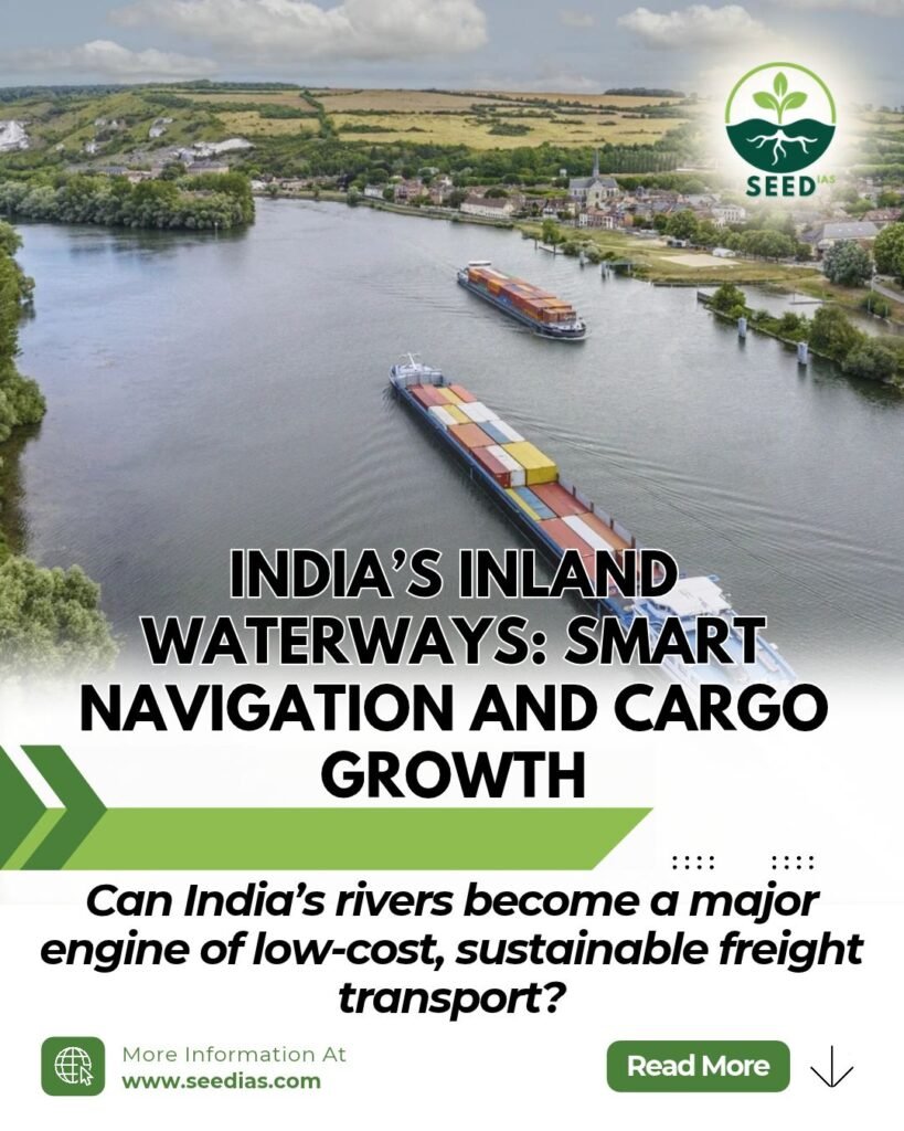
India is stepping up efforts to develop its inland waterways as a cost-effective, environmentally sustainable and efficient mode of freight transport. Investments in navigation infrastructure, riverine lighthouses, hydrographic surveys and digital systems aim to improve safety, strengthen multimodal connectivity and reduce dependence on road and rail transport.
Background: Understanding Inland Waterways
Inland waterways are navigable rivers, canals, backwaters and other inland water bodies used to transport people and goods.
India’s extensive river and canal networks offer opportunities to improve logistics efficiency. However, navigation depends on adequate water depth, reliable channels, navigational aids, terminals and real-time information.
The Inland Waterways Authority of India (IWAI) plays a central role in developing and maintaining navigation infrastructure on National Waterways.
Key Facts About India’s Inland Waterways
| Indicator | Key information |
| National Waterways | 111 waterways |
| Total length | 20,187 km |
| Geographical spread | 23 States and 4 Union Territories |
| Operational waterways | 32, according to the supplied source |
| Cargo movement, 2014–15 | 29 million metric tonnes (MMT) |
| Cargo movement, 2025–26 | 218 MMT |
| Compound Annual Growth Rate (CAGR) | 20.13%, as reported in the source |
| Maritime India Vision 2030 | Cargo movement has surpassed the 200 MMT target, according to the source |
Why does this matter?
- Lower logistics costs: Water transport can be significantly cheaper than road transport and, in suitable circumstances, rail transport.
- Environmental benefits: It can generate comparatively lower carbon emissions per unit of freight moved.
- Multimodal connectivity: Waterways can connect with roads, railways, ports, terminals and industrial centres.
- Reduced congestion: Shifting suitable freight to waterways can reduce pressure on heavily used road and rail networks.
Data note: The figures above are reproduced from the supplied material. The 2025–26 statistics and September 2026 updates should be checked against official publications before publication, as they are time-specific claims.
Key Initiatives for Safe and Smart Inland Navigation
A. Hydrographic Surveys
Hydrography is the science of measuring and describing water bodies, including their depths, riverbeds, flow patterns and navigational hazards. It helps determine whether a waterway is suitable for safe vessel movement.
The IWAI conducts hydrographic surveys to support fairway development, dredging, navigation safety and infrastructure planning.
Major types of surveys
- Thalweg surveys: Identify and monitor the deepest navigable channel along a river stretch.
- Terminal and jetty surveys: Assess water depths and approach conditions near terminals and jetties.
- Dredging: The removal of sediments from riverbeds or other water bodies to maintain or improve navigable depth.
According to the supplied material, regular thalweg surveys cover 22 National Waterways and the Indian section of the Indo-Bangladesh Protocol Route, with surveys conducted weekly, fortnightly or monthly depending on requirements.
Least Available Depth (LAD)
LAD is the minimum water depth available in a navigational channel over a specified stretch and period.
Its importance includes:
- Determining the permissible draft of a vessel — the depth of water needed to float it.
- Helping estimate the cargo a vessel can safely carry.
- Supporting route planning and seasonal navigation decisions.
- Identifying stretches that may require dredging or other maintenance.
B. Aids to Navigation
Aids to Navigation (AtoN) are external devices, systems or services that help vessels navigate safely by identifying routes, hazards and changing conditions.
India’s regulatory framework includes the Marine Aids to Navigation Act, 2021.
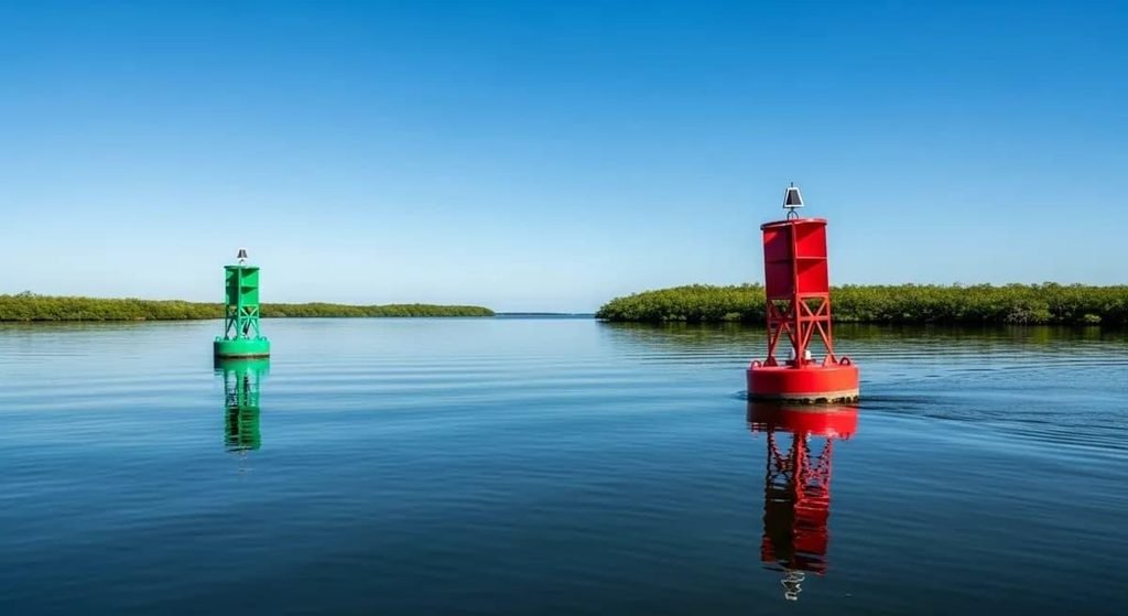
1. Buoys
Floating markers anchored in water that identify navigable channels, indicate hazards and guide vessels along safe routes.
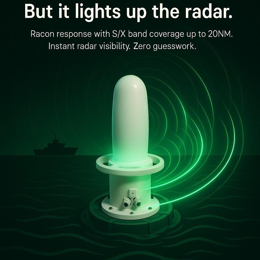
2. Radar Beacons (Racons)
Radar-responsive devices that help vessels identify navigational markers, particularly when visibility is poor.
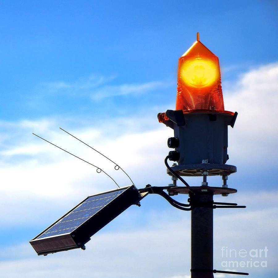
3. Other aids
Lighthouses, lightships, channel markers and beacon lamp posts provide navigational guidance.
Institutional and international framework
- Directorate General of Lighthouses and Lightships (DGLL): Develops and manages general AtoN along India’s coastline and serves as a national authority for AtoN and Vessel Traffic Services (VTS) training.
- IWAI: Maintains AtoN infrastructure across National Waterways.
- International Convention for the Safety of Life at Sea (SOLAS): An international treaty establishing important standards for maritime safety.
- International Organization for Marine Aids to Navigation (IALA): Develops recommendations and guidelines for aids to navigation.
Example: National Waterway-3 in Kerala
The West Coast Canal system connects Kottapuram to Kollam, including the Champakkara and Udyogamandal Canals. According to the Ministry of Ports, Shipping and Waterways, the navigable stretch has 312 solar-powered lighted Fibreglass Reinforced Plastic (FRP) buoys and 17 beacon lamp posts to support round-the-clock navigation.
Press Information Bureau
C. Riverine Lighthouses on the Brahmaputra
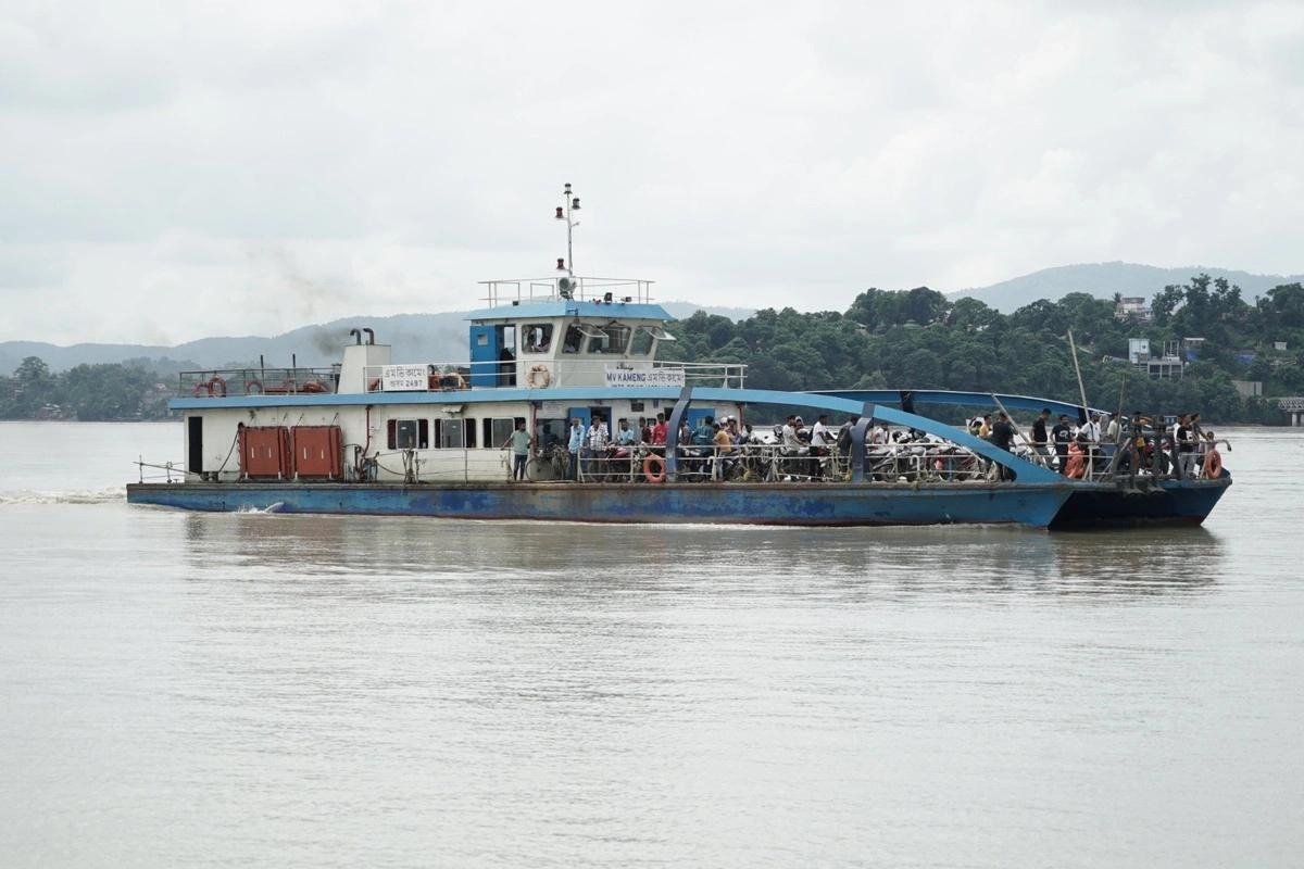
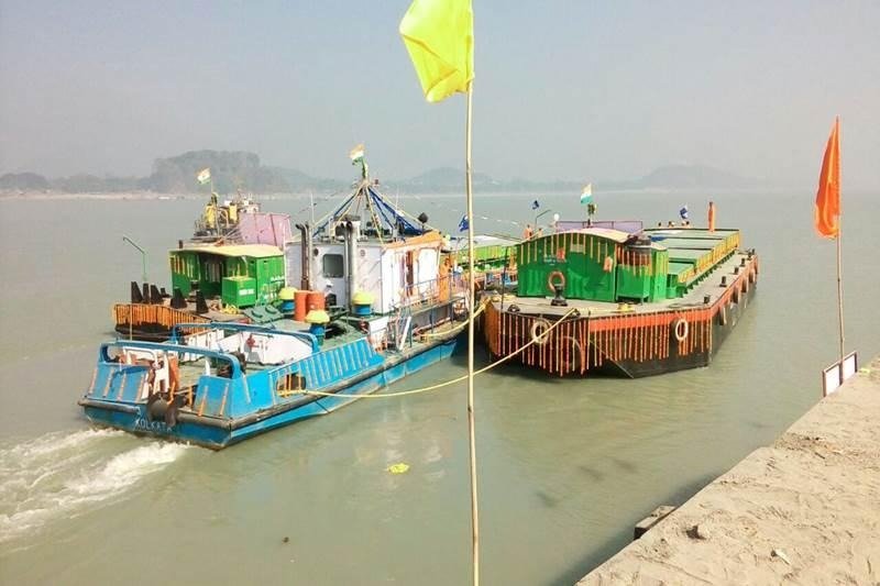
In March 2026, India announced its first riverine lighthouse project on the Brahmaputra River, designated National Waterway-2 (NW-2). The project aims to improve navigation safety and support vessel movement at night and during difficult conditions.
Key facts
| Feature | Details |
| Locations | Pandu, Bogibeel, Silghat and Biswanath Ghat |
| State | Assam |
| Height | 20 metres each |
| Geographical range | 14 nautical miles |
| Luminous range | 8–10 nautical miles |
| Power | Solar energy |
| Additional facilities | Weather-observation sensors and tourism amenities |
The proposed tourism facilities include museums, amphitheatres, cafeterias, landscaped public spaces and children’s recreational facilities.
Important fact-check: The supplied article gives the project cost as ₹74 crore. However, the Ministry of Ports, Shipping and Waterways’ official press release dated 5 March 2026 states that the combined outlay is approximately ₹84 crore. The official figure should be used.
Press Information Bureau
National Waterway-2: Brahmaputra
- It extends approximately 891 km from Dhubri to Sadiya in Assam.
- It supports cargo movement, passenger transport and tourism.
- The supplied material reports that cargo movement increased from 0.90 MMT in FY 2024–25 to 1.29 MMT in FY 2025–26. This specific comparison should be checked against the latest IWAI figures before publication.
The project illustrates how navigation infrastructure can serve both transport and regional tourism.
D. Digital Navigation and Real-Time Information
Digital navigation combines river-depth data, vessel tracking, weather information and traffic management to improve the safety and efficiency of inland water transport.
1. Electronic Navigational Charts (ENCs)
Electronic Navigational Charts are digital hydrographic charts that provide navigation information to vessel operators.
They can help vessels identify navigable routes, water depths and potential hazards. The supplied material reports that ENCs had been prepared for 18 operational and tidal waterways by September 2026.
2. PANI Portal
The Portal for Asset and Navigation Information (PANI) provides information about:
- National Waterways and navigable fairways.
- Waterway infrastructure and cross-river structures.
- Jetty connectivity and emergency services.
- Navigation-related information useful for route planning.
Together with the IWAI Vessel Tracker, these digital services support vessel tracking and access to navigation information through web and mobile platforms.
3. Naudarshika
According to the supplied material, Naudarshika, launched in 2025, is the National River Traffic and Navigation System.
It is intended to facilitate safer vessel movement by integrating real-time Least Available Depth (LAD) information and supporting river traffic management.
4. River Information Services (RIS)
River Information Services integrate vessel-tracking systems, weather and water sensors, and communication technologies to provide real-time information to vessel operators and control centres.
RIS on National Waterway-1 (Ganga)
The supplied material identifies three stretches:
- Haldia–Farakka
- Farakka–Patna
- Patna–Varanasi
The system reportedly uses four control stations and 13 base stations. Its technology includes:
- Automatic Identification System (AIS): Exchanges vessel identity, position and movement information.
- Very High Frequency (VHF) communication: Enables radio communication between vessels and relevant stations.
- Meteorological sensors: Supply weather-related information.
- RIS consoles: Installed on 30 departmental vessels, according to the supplied material.
These technologies can improve situational awareness, coordinate vessel movement and help reduce navigation risks.
Verification note: The specific September 2026 claims concerning ENC coverage, Naudarshika and RIS deployment are drawn from the supplied text. Verify these details against current IWAI or Ministry publications before treating them as officially confirmed.
Challenges in Developing Inland Waterways
Despite their potential, inland waterways face several challenges.
- Seasonal variations: Water levels may fall during dry seasons, restricting vessel draft and cargo capacity.
- Sedimentation: Deposited sediments can reduce navigable depth and increase maintenance requirements.
- Infrastructure gaps: Inadequate terminals, last-mile road and rail links, and cargo-handling facilities can limit adoption.
- Navigation risks: Shifting channels, submerged obstacles, poor visibility and changing river conditions can affect safety.
- Environmental concerns: Dredging and vessel operations need appropriate safeguards to minimise harm to river ecosystems and aquatic biodiversity.
- Commercial viability: Cargo owners need reliable schedules, competitive end-to-end costs and dependable connections with other transport modes.
Way Forward
- Maintain navigable channels: Strengthen hydrographic surveys, dredging where justified and regular monitoring of LAD.
- Expand digital systems: Improve ENC coverage, vessel tracking, weather forecasting and real-time traffic information.
- Improve multimodal connectivity: Integrate waterways with ports, industrial centres, railway terminals and road networks.
- Strengthen safety regulation: Maintain navigation aids, crew training, emergency-response systems and vessel-safety standards.
- Protect river ecosystems: Use scientifically informed dredging and environmental monitoring.
- Promote viable cargo movement: Encourage suitable bulk freight, reliable scheduled services and private participation in terminal infrastructure.
Prelims Focus: Facts to Remember
| Topic | Key fact |
| National Waterways | Declared under the National Waterways Act, 2016 |
| IWAI | Central institution for development of inland water transport infrastructure |
| LAD | Minimum available water depth in a channel over a specified stretch and period |
| Thalweg | Deepest navigable channel along a river stretch |
| AtoN | Aids to Navigation |
| Marine Aids to Navigation Act | Enacted in 2021 |
| DGLL | Directorate General of Lighthouses and Lightships |
| NW-1 | Ganga–Bhagirathi–Hooghly river system |
| NW-2 | Brahmaputra River |
| NW-3 | West Coast Canal system in Kerala |
| SOLAS | International Convention for the Safety of Life at Sea |
| IALA | International Organization for Marine Aids to Navigation |
| RIS | River Information Services |
| AIS | Automatic Identification System |
| VHF | Very High Frequency |
Official government information confirms that 111 National Waterways were declared under the 2016 Act, and that 32 were operational for cargo and passenger movement in 2026.
Conclusion / Way Forward for Mains
India must integrate reliable waterways infrastructure, digital navigation, multimodal connectivity and ecological safeguards to make inland transport safer, more competitive and sustainable.
Prelims Check
Question 1: Consider the following statements about India’s inland waterways:
- The National Waterways Act, 2016, declared 111 National Waterways.
- Every declared National Waterway is necessarily operational for regular cargo and passenger movement.
- Least Available Depth is relevant to determining the permissible draft of a vessel.
Which of the statements given above are correct?
A. 1 and 2 only B. 1 and 3 only C. 2 and 3 only D. 1, 2 and 3
Question 2: With reference to navigation infrastructure, consider the following pairs:
| Term | Description |
| 1. Thalweg survey | Identifies the deepest navigable channel along a river stretch |
| 2. Racon | Radar-responsive navigational aid |
| 3. AIS | System for exchanging vessel identity and position information |
| 4. Dredging | Digital charting of navigable waterways |
How many of the pairs given above are correctly matched?
A. Only one B. Only two C. Only three D. All four
Question 3: Consider the following statements regarding National Waterways and navigation institutions:
- National Waterway-2 is associated with the Brahmaputra River.
- The Directorate General of Lighthouses and Lightships is responsible for maintaining all inland waterways infrastructure across India.
- River Information Services can integrate vessel tracking, communication and weather-related information.
- National Waterway-3 includes the West Coast Canal system in Kerala.
Which of the statements given above are correct?
A. 1 and 2 only B. 1, 3 and 4 only C. 2 and 4 only D. 1, 2, 3 and 4
Answers and Explanations
1. Correct answer: B — 1 and 3 only
- Statement 1 is correct: The National Waterways Act, 2016, declared 111 National Waterways.
- Statement 2 is incorrect: Declaration does not automatically mean a waterway has the infrastructure and facilities required for regular cargo and passenger operations.
- Statement 3 is correct: LAD helps determine the safe vessel draft and supports decisions about navigability and cargo capacity.
2. Correct answer: C — Only three
- Pair 1 is correct: A thalweg survey identifies and monitors the deepest navigable channel along a river stretch.
- Pairs 2 and 3 are correct: Racons respond to radar signals, while AIS exchanges vessel identification and movement information.
- Pair 4 is incorrect: Dredging removes sediments to maintain or improve navigable depth; it does not mean digital charting.
3. Correct answer: B — 1, 3 and 4 only
- Statement 1 is correct: National Waterway-2 runs along the Brahmaputra River in Assam.
- Statement 2 is incorrect: DGLL manages general aids to navigation within its remit, while IWAI is the central agency responsible for inland waterway development and associated navigation infrastructure.
- Statement 3 is correct: RIS integrates vessel tracking, communication and environmental information to support navigation and traffic management.
- Statement 4 is correct: National Waterway-3 includes the West Coast Canal system in Kerala.
“Success is the sum of small efforts, repeated day in and day out.” — Robert Collier